You are currently browsing the tag archive for the ‘Minnesota’ tag.
The Star-Tribune of Minneapolis-St. Paul, Minn., recently began publishing a map of dangerous dogs in the city. The information is provided by Minneapolis Animal Care and Control and St. Paul Animal Control, and was most recently updated in mid-May.
The map allows users to filter by breed and distinguishes between “dangerous dogs” (those who have caused serious bodily harm, killed a pet, or who are repeat attackers) and “potentially dangerous dogs” (those have bitten, chased, or menaced people or pets). When you click on a dog location, the address and name of the owner appear.
Although I’m sure that many owners may be unhappy that their address and name appear on a public map labeling them as having a dangerous dog, this could also be a good tool for law enforcement as well as parents who want to know if dogs in any given neighborhood could be a threat to local residents or their own families.
Visit the map here.

Thanks for the tip.
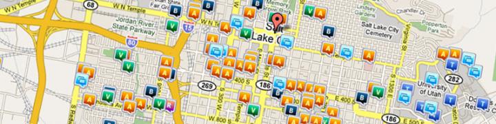
Get on the crime map at CrimeReports.com
According to the Duluth News Tribune, a group of students from the University of Minnesota Duluth are mapping nighttime lighting levels throughout the city, and plan to correlate that data with incidents of crime.
The students have been using light meters and traveling the city at night to record light levels. Once the data has been created, they plan to combine the lighting-level map with crime incidents and give the local police the correlation data.
The Duluth police are happy to receive the data, although they are wary that correlations may be due to anomalies. But they will have their crime analysis unit study the map once it is created, in order to determine its usefulness in allocating resources and finding crime hotspots throughout the city. For more details on this story, click the link above.
Search crime in your neighborhood at CrimeReports.com
In Rosemount, Minnesota, police are telling citizens to call 911 for any and all types of police, fire, or EMS situation. An editorial, posted at Dispatch Magazine On-line, examines this decision by the Rosemount PD, and uses humor to highlight some possible problems or concerns that the decision raises.
Should 911 be used as a triage for emergency calls? Leave a comment.
St. Paul, Minnesota has been plagued by a series of church burglaries; can you help find the criminals responsible? That is the question being posed by Nemo de Monet at the blog Entropic Memes. Apparently, the St. Paul PD has made the information on these burglaries available to the public. De Monet poses that if a large group of people were brought together over the internet and give only a few minutes of time to looking at the data, the “crowd” may very well come up with many ideas and conclusions that would take one analyst many days, weeks, or months.
In addition, Kristan Wheaton, professor of intelligence studies at Mercyhurt College in Erie, PA and author of the blog Sources and Methods has taken the raw data from the Police Department, given it to Dagir Co., who plotted the data on another interactive map, where members of the public can filter the data and see it in different ways.
This is an interesting exercise in the mashup of web 2.0 technology and GIS and is well worth a read and a look. The map is interesting the play with and de Monet entertains some interesting ideas on the way that crowd-sourcing a project like this both gets the community involved and may provide insight much faster than individual crime analysts.
Here are a list of resources for this project:
Entropic Memes 1st post
Entropic Memes 2nd post
Entropic Memes 3rd post
Official Google Map of St. Paul church burglaries
Sources and Methods story
Dagir Co.’s map
TwinCities.com story on the church burglaries
Update: Dagir Co. has also created a wiki for all who want to share analysis with others interested in this project. The wiki can be found at stpaulchurch10-21.wikispaces.com

In articles published yesterday, both Brooklyn Center, MN, and Charles County, MD, have seen crime drop in their areas, partially due to their implementation of crime mapping at their precincts.
According to the 2008 annual police report for Brooklyn Center, crime mapping and data analysis have become the “backbone” of their weekly crime reduction meetings since they began to emphasize crime analysis about a year ago.
As well, CrimeReports partner Charles County attributes much of their success to initiatives like a Neighborhood Enforcement Unit and new technology, including mobile data terminals, TAG readers, and crime mapping. Sheriff Rex Coffey said, “The capacity of the Agency, with all of the elements in place to do productive police work—combined with the right equipment, good technology and enhanced training—plays a significant role in keeping our county safe.”
For more details, read the full stories at MSSun.com and Baynet.com
How has crime mapping helped you reduce crime in your area? Leave a comment.
 Stumble It!
